
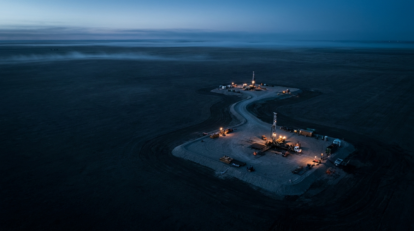

Every wellbore survey is an estimate, not a fact. At depth, the gap between where a survey says a well is and where it actually is can be larger than the target you are trying to hit — and some wells were never surveyed at all. Synthetic and composite surveying are the two ways magnetic ranging closes that gap: one rebuilds a trajectory that never existed, the other corrects trajectories that disagree. Knowing which is which, and when each applies, can decide whether an intercept lands.
The problem: surveys drift, and some wells have none
It is worth restating the uncomfortable fact behind all precision wellbore work: once a well is in the ground, nobody knows exactly where it is. Directional surveys are built by integrating hundreds of individual measurements of depth, inclination and azimuth, and every one of those measurements carries a small error — sensor limitations, magnetic interference, tool misalignment, depth-measurement effects. Station by station the errors accumulate, which is why a wellbore's positional uncertainty is drawn as an ellipsoid that keeps growing with depth. By 10,000 feet, the honest answer to "where is this well?" can be a region hundreds of feet across.
For ordinary drilling, that is tolerable. For a relief well intercept, a closed-loop geothermal connection, a plug-and-abandonment re-entry, or a close-approach anti-collision decision, it is the entire problem. And it comes in two flavors:
Sometimes both wells have surveys, but the surveys disagree with reality. Ranging measurements routinely show the two wells in a different relative position than the paper trajectories predict — because both surveys have accumulated error.
Sometimes the target well has no usable survey at all. Orphan wells, legacy wells drilled before modern directional practice, wells whose records were lost decades ago. There is no trajectory to correct, because there is no trajectory.
Magnetic ranging answers both — but with two different products.
Composite surveys: reconciling surveys that disagree
A composite survey applies when surveys exist but ranging proves them wrong relative to each other.
Active magnetic ranging measures the actual distance and direction between two wellbores, independently of either well's survey. When those measurements are compared against the relative position computed from the conventional surveys, there is always a discrepancy — that discrepancy is the accumulated survey error, made visible.
The naive fix is to bulk-shift one well's plotted position until the wells line up on screen. The trouble is that a pure positional shift does not fix the direction the survey is pointing: if the underlying error includes systematic azimuth error, a shifted-but-unadjusted trajectory can still steer you the wrong way exactly when the wells are converging and precision matters most.
A composite survey goes further. The measured discrepancy is incorporated into the survey representation itself, so the adjusted trajectory both matches the ranging measurements and remains a smooth, continuous, drillable wellbore path. The result behaves like any conventional survey — it loads into standard well-planning and anti-collision software, supports normal steering decisions, and documents the as-executed geometry — but it is now consistent with what was physically measured downhole with ranging tools.
A natural question follows: ranging is a relative measurement, so which well's survey gets corrected? In practice, the correction can be carried by the drilling well, by the target well, or distributed between the two, and the industry's standard wellbore-positioning uncertainty models (ISCWSA) provide a statistical basis for deciding how to share it. How that distribution is computed is part of our proprietary workflow; the principle is simply to honor the measurement.
Every ranging measurement on a converging pair of wells refines the composite survey — and with ranging-while-drilling the relative geometry tightens measurement after measurement as the intercept approaches. On a closed-loop geothermal project in Bavaria, Germany, connecting the main bores of a loop meant continuously updating a composite survey through successive ranging measurements until two independently drilled wellbores met as designed. The same discipline steers every relief well: ranging does not just point at the target, it continuously corrects the map.
Read the Bavaria closed-loop case study →Synthetic surveys: building a trajectory from nothing
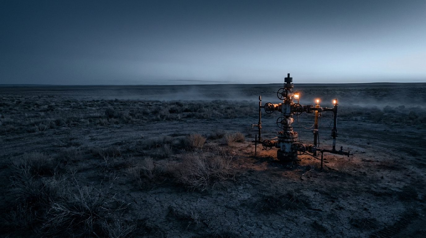
A synthetic survey applies when there is nothing to reconcile — the target well has no usable survey record.
This is far more common than it should be. The United States alone has hundreds of thousands of undocumented orphan wells, and when one of them leaks or flows, it has to be located underground before it can be intercepted and permanently killed and plugged.
The approach inverts the normal ranging question. Instead of asking "where is the target relative to my survey?", a series of ranging measurements is taken from the drilling well as it travels alongside the target — each one capturing the direction and distance to the offset well. A most-likely target trajectory is then constructed to honor all of those measurements simultaneously, along with what little is known independently, such as the surface locations. Because a legacy well drilled with non-directional tools deviates only gradually, the reconstruction is also held to realistic curvature — the derived trajectory has to be a well that could actually have been drilled.
The output is a synthetic survey: a full measured-depth / inclination / azimuth trajectory for a well that never had one, quality-checked by confirming it reproduces every ranging observation that built it. From that point forward, the undocumented well can be treated like any surveyed well — planned against, steered to, and ultimately intercepted.
This is exactly how a coiled-tubing ranging campaign in Louisiana located and killed a legacy blowout that had resisted months of surface intervention: a mapping phase acquired hundreds of ranging measurements along the intercept path, a synthetic survey of the never-surveyed target was constructed to honor all of them, and the intercept phase then steered to contact. The same survey-ranging reconciliation supported the 2026 world-record ranging and dynamic kill in the Permian Basin. No survey record, no problem — the ranging data becomes the survey.
Read the Louisiana blowout case study →Read the 2026 Permian case study →Synthetic vs. composite: the one-line difference
If you remember one distinction, make it this:
Both produce the same kind of deliverable — a conventional, software-compatible wellbore trajectory that is consistent with downhole ranging measurement. Both exist because paper trajectories and physical reality drift apart. They differ only in the starting point: composite starts from two surveys and a measured disagreement; synthetic starts from a blank page and a stack of ranging observations.
And they compound. On many jobs the two are used together — a synthetic survey establishes the target's trajectory in the mapping phase, then behaves like any other survey that subsequent ranging measurements keep refining on the way to intercept.
Why it matters beyond the intercept
The obvious customer for these techniques is the relief well, where hitting a seven-inch target at depth leaves no room for a map that is wrong by 200 feet. But the same capability now underwrites a much wider set of work: locating orphan and legacy wells for permanent plug and abandonment, verifying well positions around carbon-storage complexes where an undocumented wellbore is a leak path, and connecting geothermal well pairs.
In every one of those settings, the value is the same. A conventional survey measures each well on its own, and its absolute position remains a statistical estimate no matter how good the tools are. Ranging measures the one thing an intercept actually depends on — where two wells sit relative to each other — and turns that relative position from a statistic into a measurement. Synthetic and composite surveying write that measured, relative truth back into the map everyone steers by.
- Surveys accumulate error with depth; a wellbore's true position at 10,000 ft can be uncertain by hundreds of feet — and orphan wells may have no survey at all.
- A composite survey reconciles existing surveys with ranging measurements, correcting the trajectory itself (not just shifting a line on a map) so steering stays trustworthy as wells converge.
- A synthetic survey reconstructs a most-likely trajectory for a never-surveyed well purely from ranging observations, turning an undocumented well into a plannable target.
- Both deliver standard, software-compatible surveys consistent with measured reality — the foundation for relief wells, P&A of orphan wells, and geothermal connections.